Indianapolis International Airport (IND)
Orientation and Maps
(Indianapolis, Indiana (IN), USA)
A city best known for its motor racing history, the Indianapolis 500 race dates back to 1911. Towards the end of the last century, much of Indianapolis was completely renovated and this city has completely reinvented itself, with modern amenities, a well laid out city center, and many impressive museums, monuments and large sporting venues.
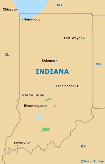
To the southwest of the city center and off the I-465 interstate, Indianapolis International Airport (IND) is linked by the No. 8 Washington bus. Greyhound buses operate along South Illinois Street and feature several daily runs, which travel to and from Cincinnati, Chicago and other prominent cities. Local buses in Indianapolis are run by IndyGo, with the service tending to be less comprehensive at the weekends.
Indianapolis International Airport (IND) Maps: Important City Districts
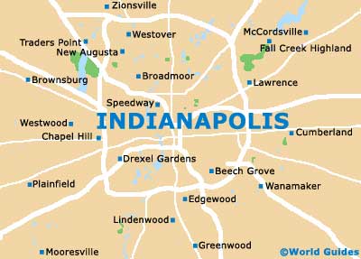
Central Indianapolis features a geometric layout, with a number of interconnecting diagonal streets. Most of the city's main sights spread outwards from the Monument Circle area. A notable east to west thoroughfare is Meridian Street, dividing much of this area, together with Washington Street, which heads in the opposite direction.
To one side of downtown Indianapolis you will find the spreading White River State Park, which is full of natural attractions. The park features a central canal, with a number of boats available for hire. Further afield and within driving distance of Indianapolis you will find the small town of Fairmount, to the north and along the US-9 highway, and also the nearby cities of Bloomington, Columbus and Nashville.
USA Map

Indiana Map
Indianapolis Map